Athena Review Image Archive ™
William Smith portrait (ca. 1831)
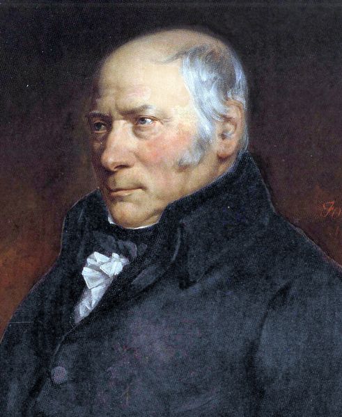
Portrait of William "Strata" Smith (National Portrait Gallery, London).
William "Strata" Smith (1769-1839) was an English mining engineer and geologist who accurately mapped geological strata throughout Britain and first defined many index fossils. The modern science of geology in Britain literally began when Smith, working as a canal surveyor, made the first accurate geologic maps of England and Wales.
Smith
began work as a surveyor’s apprentice around the coal mines of
Devonshire in the 1780s, and in the 1790s supervised a six-year project
to dig the Somerset Canal in southeast England. Smith kept accurate
records of the different rock layers and their properties related to
their suitability for excavation in canals, for which he was nicknamed
“Strata Smith” by his associates. He was also interested in the typical
fossils found in these sedimentary rock layers. As sections were dug
through the local rocks such as limestone, sandstone, or shale along
the canal routes, Smith noticed that certain layers of rock
consistently contained similar fossils, and that these varied
predictably from top to bottom.
This revealed to Smith the
essence of stratigraphy, or the study of geological layering. In his
own words, “each stratum contained organized fossils peculiar to
itself, and might, in cases otherwise doubtful, be recognized and
discriminated from others like it, but in a different part of the
series, by examination of them.”
Following the same line of
reasoning previously used by the 17th century Italian
Nicholas Steno, Smith saw that the strata thus in themselves held
the key for comparisons between fossil beds, which Smith called “the
principle of organic succession.” A sequence of specific fossils
(representing types or species of ancient life) were directly
linked with specific types and layers of rock, also identifiable as a
sequence, which could then be defined as an organized formation.
Importantly,
the same sequences of rock layers and fossils, once accurately recorded
as geological formations, can be found in different places. Smith
was the first to clearly describe local units of stratigraphy, or the
correlation of layers and their contents, as organized geological
formations, used in recording both the geologic history of the earth
and the fossil record of related organisms and their development. This
practical concept of sequential geological formations is, needless to
say, essential to the relative dating of fossils, and a basic component
of their paleontological descriptions.
From the 1790s onward,
Smith created a series of geologic maps throughout the counties of
England and Wales, leading to the first accurate description of
geological formations throughout Great Britain. These maps he published
at his own expense in 1815. Smith also published, the following year,
an illustrated guide to the index fossils of each geological stratum
described in the maps. Since Smith had no academic credentials,
however, his maps and fossil reports were at first ignored by
established scientists – while the maps were freely plagiarized by
publishers. Smith meanwhile went deeply into debt and was even placed
in debtors prison for several years.
Belatedly, his pioneering
work was recognized as a major step forward by the Geological Society
of London, which in 1831 gave Smith its first medal for outstanding
achievement in geology. Smith’s interest in fossils was taken up by his
nephew, John Philips, who went on to become a well-known English
palaeontologist during the Victorian era. Philips was the first to list
most of the geological periods as they are recognized
today.
References:
Smith, William 1815. Geological Map of England and Wales.
Copyright © 1996-2020 Rust Family Foundation (All Rights Reserved).